Lab members attend AGU24 Conference in Washington, D.C.

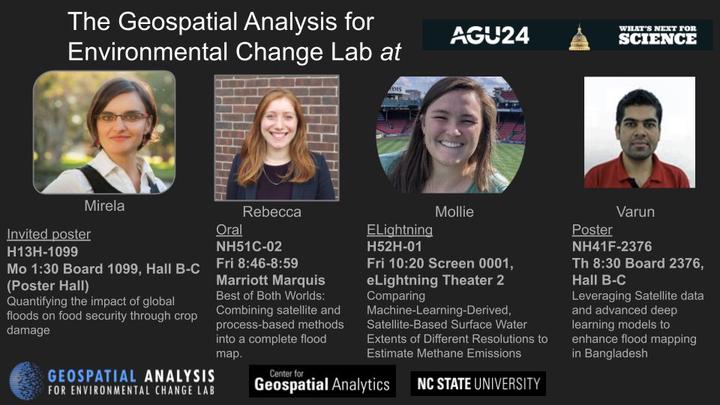
GAEC lab members Mirela, Rebecca, Mollie and Varun presented at the American Geophysical Union Conference in Washington, D.C. in December.
Mirela presented an invited poster on quantifying the impact of global floods on food security through crop damage. You can read more in the conference abstract.

Rebecca, who received the Geospatial Analytics Travel Award, gave an oral presentation on combining satellite and process-based methods into a complete flood map. Her research focuses on mapping urban flooding. You can read the abstract here and her travel blog on CGA news.

Mollie gave an ELightning talk about Comparing Machine-Learning-Derived, Satellite-Based Surface Water Extents of Different Resolutions to Estimate Methane Emissions. This was Mollie’s fifth time presenting at AGU’s fall meeting. Read the abstract here.

Finally, Varun presented a poster on leveraging satellite data and advanced deep learning models to enhance flood mapping in Bangladesh. The abstract is available here.

Social Media Buzz:
I enjoyed a great week of science at the @agu.org last week.
Some actions shots from my group's presentations on #flooding, including urban floods, how flooding impacts food security, and #methane emissions from artificial small #water bodies w/ #machinelearning and #satellite data
#AGU24 #EOchat
— Mirela G. Tulbure, PhD (@mirelagtulbure.bsky.social) December 16, 2024 at 8:13 AM
[image or embed]